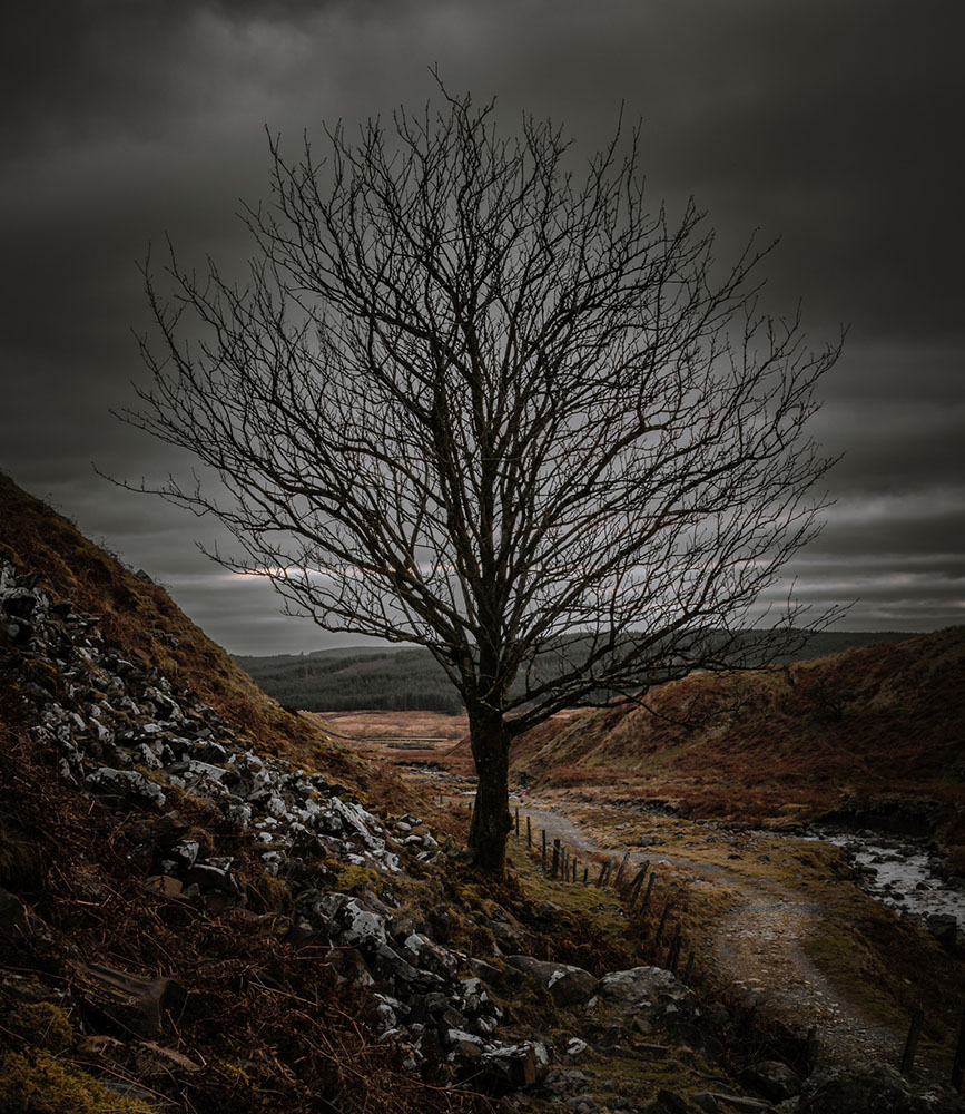
Queensberry, Earncraig Hill & Gana Hill from Mitchellslacks
The Lowther Hills are split almost in half by the A702, and this visit, our third in total took us back to the Eastern half to complete all of the major Hills. It was a year ago almost to the day that I walked the Lowther Hills main ridge. And even longer since my friend Duggy & I “broken the dog” when he lost his wag (serious stuff for a Cocker Spaniel that never stops wagging his tail) on a very wet and cold loop around Daer Reservoir. This time we were back to walk Queensberry, Earncraig Hill & Gana Hill from Mitchellslacks on the edge of the Forest of Ae. One of Scotland’s famous world class 7stanes mountain bike venues.
In terms of maps, you’re looking at OS Landranger No 78 – Nithsdale & Annandale, Sanquhar & Moffat if you want a 1:50. 1:25 is tricker as it is on the edge of OS Explorer – 321 – Nithsdale & Dumfries and OS Explorer – 329 – Lowther Hills, Sanquhar & Leadhills. I’ve linked to Dash4it maps as they are the cheapest we can find and offer free next day delivery. I have heard that the maps are slightly older than those available from OS but seeing as I’ve found so many mistakes and features missing on new OS maps. I don’t think it’s an issue.
As usual, I plotted the map online using OS Maps Premium which at £28.99 per year is well worth it for full access to OS maps online. From here you can create a pdf and print the route out. As well as a printed route, usingthe app on my phone, I pushed the route straight to my Garmin Fenix 6 and was able to have it running in the background using the Navigate feature.
Our start point was a small parking space just past Mitchellslacks Farm (NX 9644 9604) after a long and winding drive through Ae forest on increasingly small roads. If you’re travelling from the East, look out for the house that is part junk yard, part motorbike/quadbike graveyard on the way there. Wouldn’t want to be their neighbours.
It was a cold day and unusually for me, it was gloves & hat on the moment we got out the car. Normally I don’t wear gloves as I run quite hot but today was bitterly cold.
Our first target for the day was Queensberry. Queensberry is the southernmost of the Lowther Hills and the easiest route up was to follow the track up Capel Burn towards Burleywhag Bothy and then head up Grit Hill just after the ruined buildings of New House and New Burleywhag. Do take time to investigate New Burleywhag. The history and stories that ruined building can tell must be incredible.
You want to leave the track just North of Spout Cleugh opposite the derelict house and follow the faint quadbike trail up the hill. It will feel as though you are heading in totally the wrong direction for Queensberry as the meanders North but don’t worry. Just after Three Knowe Heads the path bends and you head towards Grit Hill and then finally get to see Queensberry again. When the path disappeared, we cut up at the peat hags and made the final direct climb through tussocky grass to the windy and cold summit of Queensbury. There’s a large cairn/mound of stones with some much needed shelter. We managed to grab a bite to eat but it was quick as we were getting getting cold very quickly.
Leaving Queensberry we headed North to pick up the fence line down Queensberry Shoulder. As we dropped down the cold wind eased off. Following the fence past Penbreck and East of Penbreck Sliders down to Capel Yetts. It felt like we had lost all of the height gained but it’s not that bad. You definately don’t want to go down Penbreck Sliders, it’s bloody steep.
Follow the fence line up Berry Rig as it then bears SW towards Earncraig Hill, a Donald at 611m.
The path loosly follows the fence down towards Daer Hass then just follow the quad trail up towards Gana Shank. Here we stopped to watch a Red Kite flinging itself about the skies like an acrobat. Such a different bird to the usual Buzzards we normally see. At Gana Shank the path meets a proper track. Head up towards Gana Hill for the last Donald of the route at 668m.
As they say, it’s all downhill from here apart from the uphill bits. We followed the track over Hard Hill then past Haggie Hill. Look out for all of the grouse butts. You can almost hear the sound of over privileged wealth, the chink of Gin bottles and the boom of shotguns.
The original plan had been to follow the track all the way down to Locherben then walk back along the road. Thankfully a walk report on The WalkHighlands Website had mentioned a bridge over Capel Burn just NW of The Law which we had spotted on our way in.
So, leaving the shooting track at NX 96795 97967 we headed down towards the river just NE of the re-entrant. There’s a superb section of narrow ridge as you head down to the Capel Burn which really added to the day.
Route Info
Hills Climbed
Queensberry 697m (Graham)
Earncraig Hill 611m (Donald)
Gana Hill 668m (Doanld)
Stats
Distance: 18.46 km
Time: 6 h 08 min
Note:
The time taken is our time. We’re not fell runners wearing a tiny pair of shorts & carrying no kit, nor did we stop for hours and have a picnic.
Your time may be different. If you do follow this route and end up: hours late, in the pitch black, weeping. Tough.


Leave a Reply
Want to join the discussion?Feel free to contribute!